Below are Lesson Plans for Teachers
ARS Basics for Teachers 6-8
This introduction for teachers will help you and your colleagues understand how to use the ARS in the classroom to help teach a variety of watershed topics.
Download the ‘ARS Basics for teachers 6-8’ PDF
Getting to know the curriculum 4-8
Get to know the ARS and the state curriculum it corresponds with. This tool may help you think of other topic to go over while you have the ARS.
Download the ‘Getting to know the curriculum 4-8’ PDF
Pollution in Watersheds Student Worksheet
This lesson includes content about watershed, what they are and the pollution that can occur from every day activities. Students can work in groups, while one group is working in the ARS box the other students can complete activities at their group tables.
Watch the video reference for this topic.
Download the ‘Pollution in Watersheds Student Worksheet’ PDF
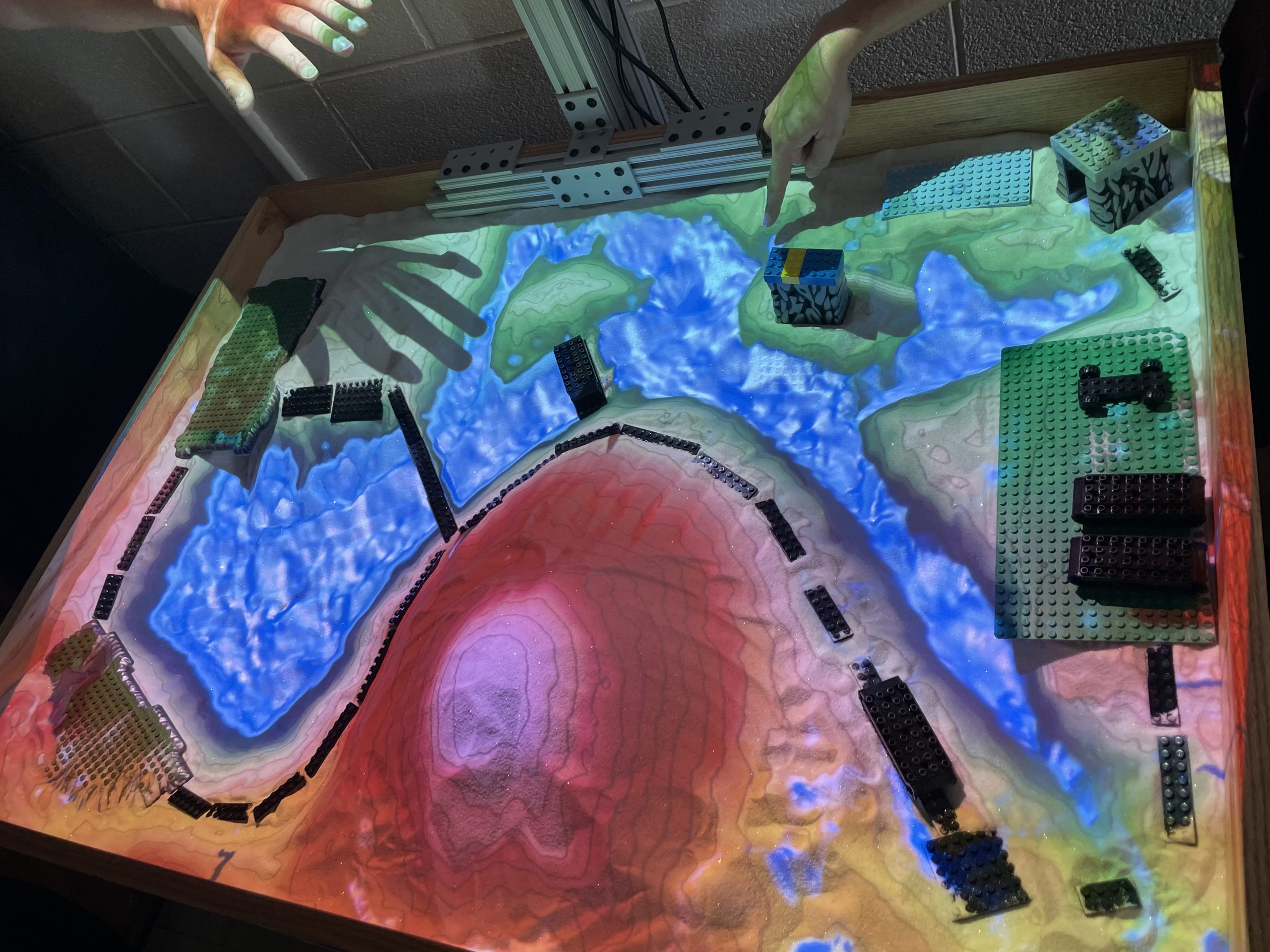
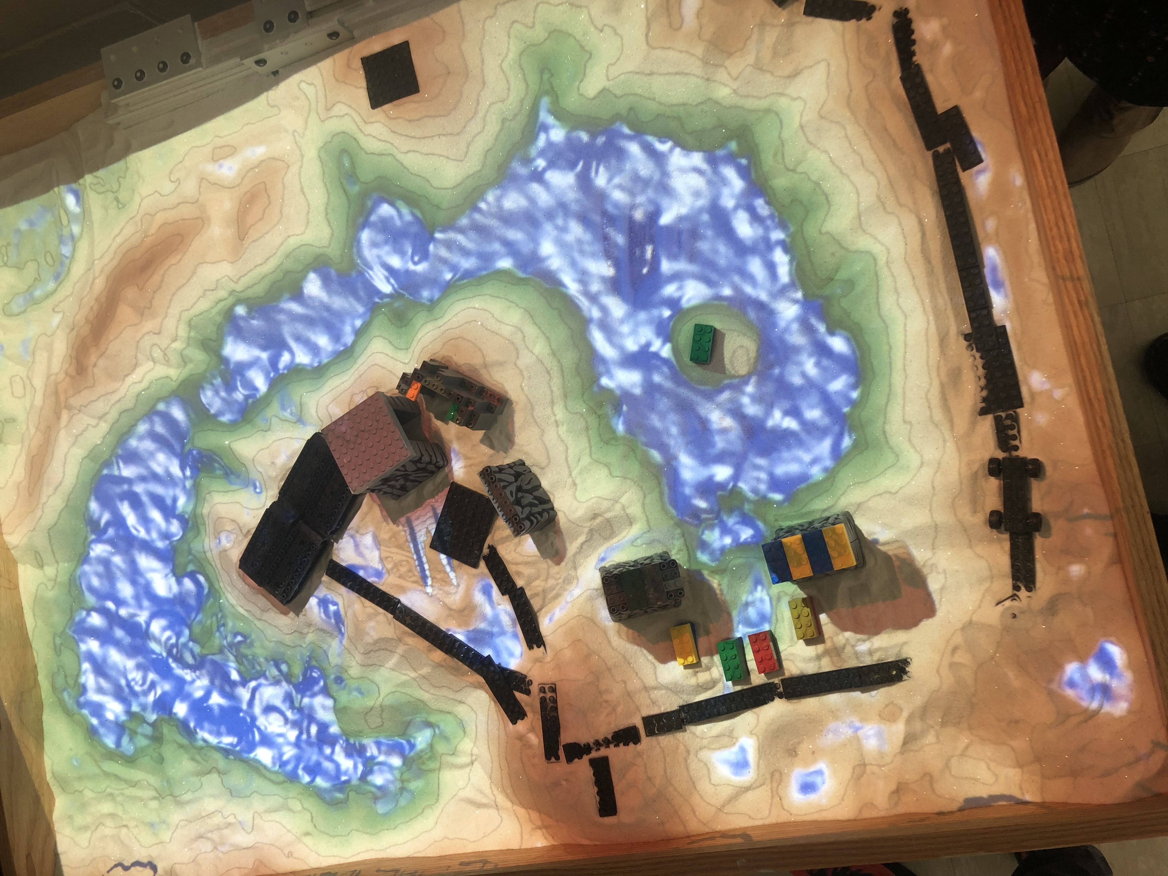
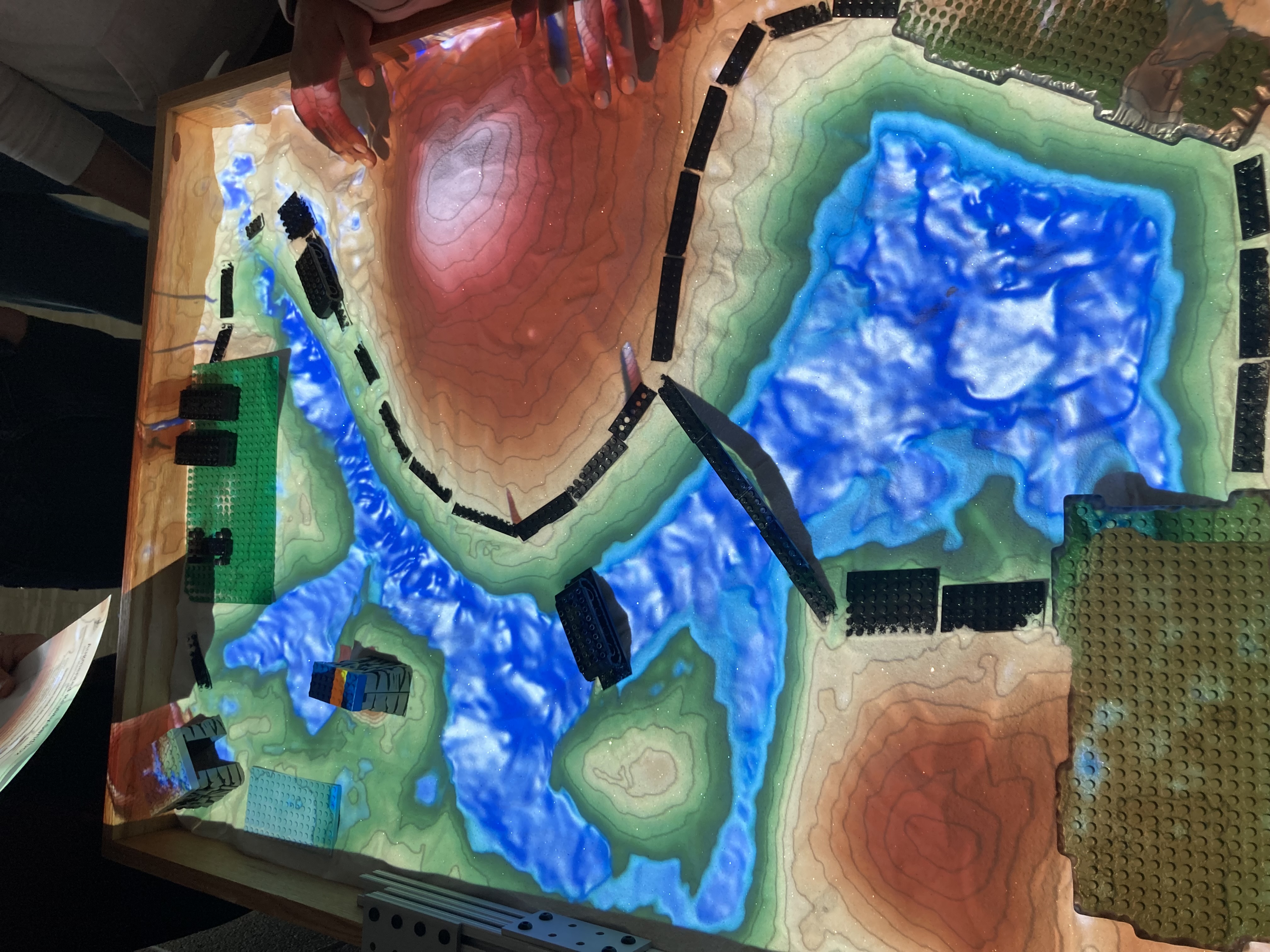
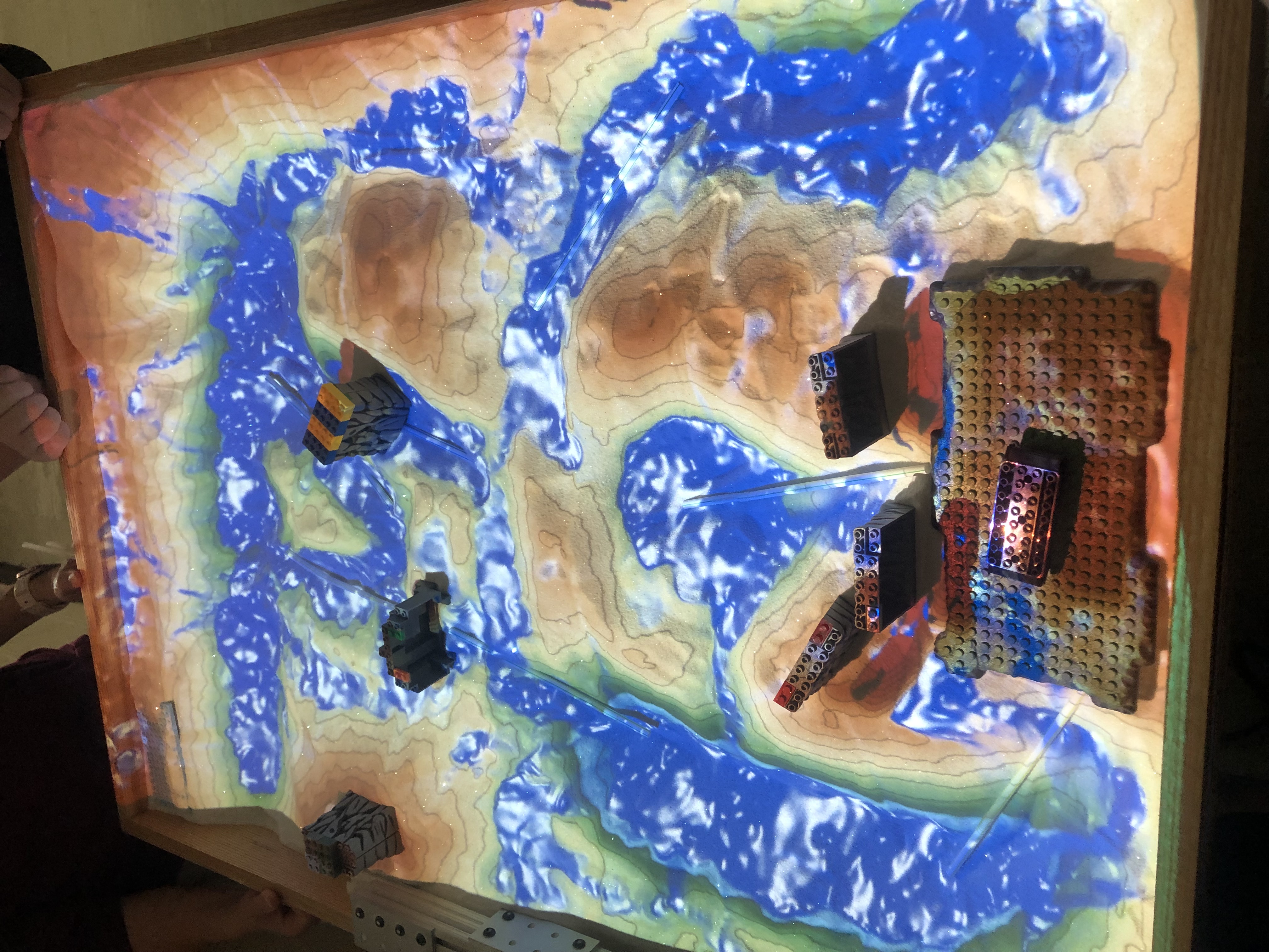
Understanding Watersheds through Topographic Maps
Not everyone understands or have ever had to use a topographic map. Use this lesson with the ARS to help others understand not only how to read a topographic map but also how a watershed might look on a topographical of the maps.
Download the ‘Understanding Watersheds Through Topographical Maps’ PDF
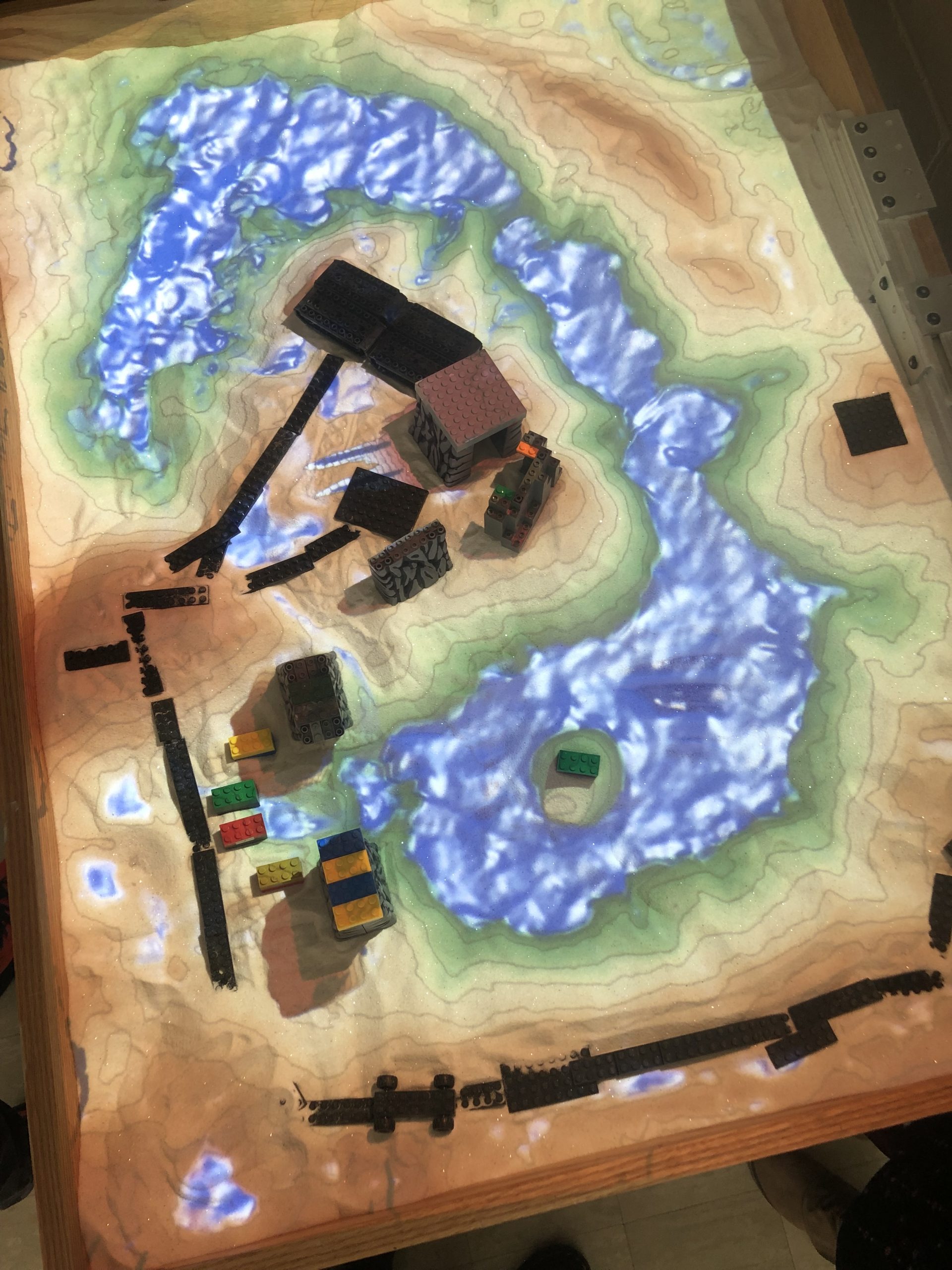
Creating Your School Watershed
Meant for a group of students, but easily converted to any group, participants can put their brains together with their understanding of a watershed and create their school’s watershed. Think of things like where all of the water goes when it rains or the snow melts. Does the water drain somewhere? Does it create big puddles to splash in? Here is a video Reference for this topic Creating a local watershed video
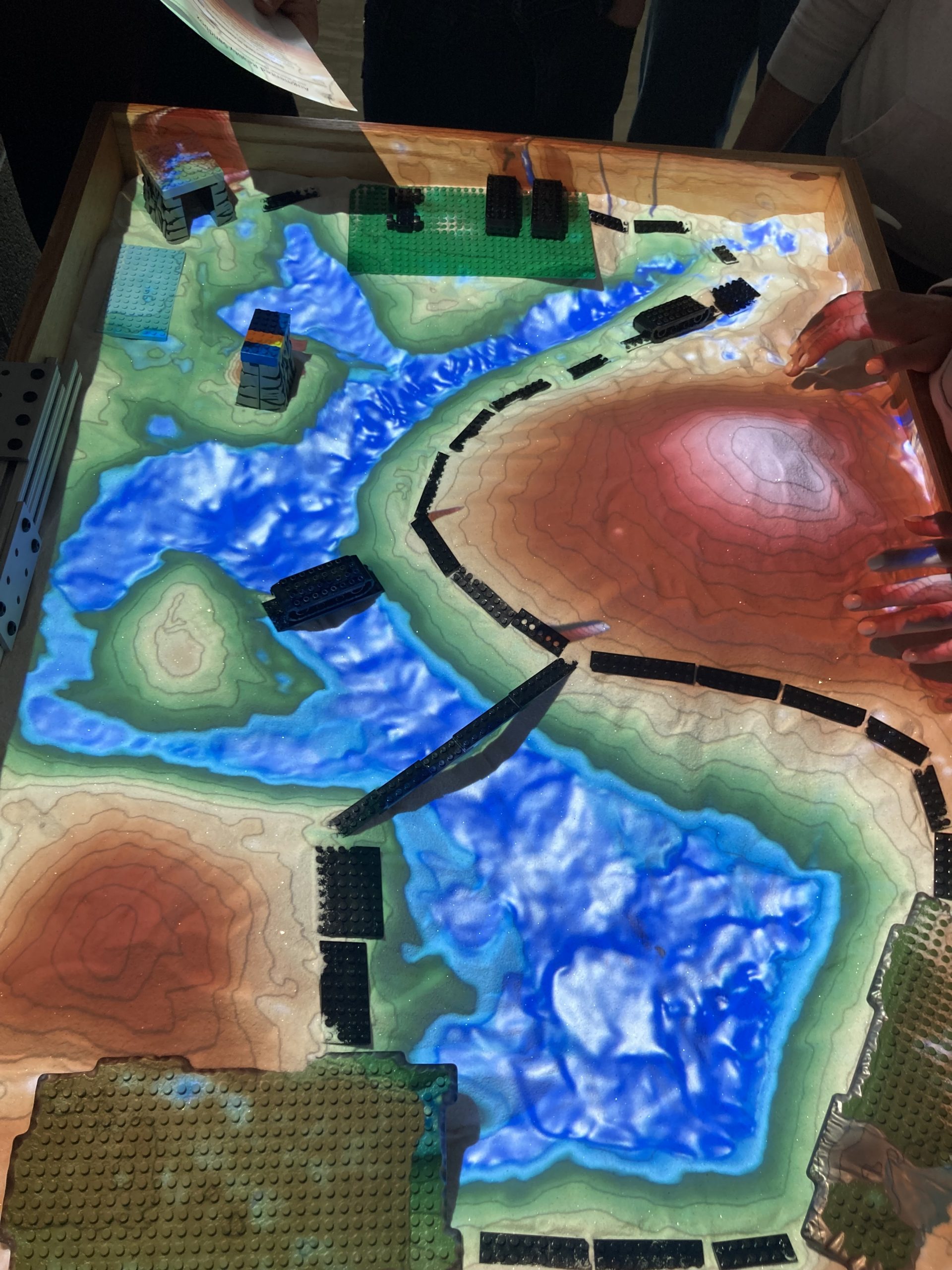
Recreating the Great Lakes Basin
This lesson is an introduction to the Great Lakes Basin. This allows your group to be able to visualize how water runs over Michigan and how we have a positive or negative effect on the Great Lakes as a whole.
Download the ‘Great Lakes Basin Watershed’ lesson plan
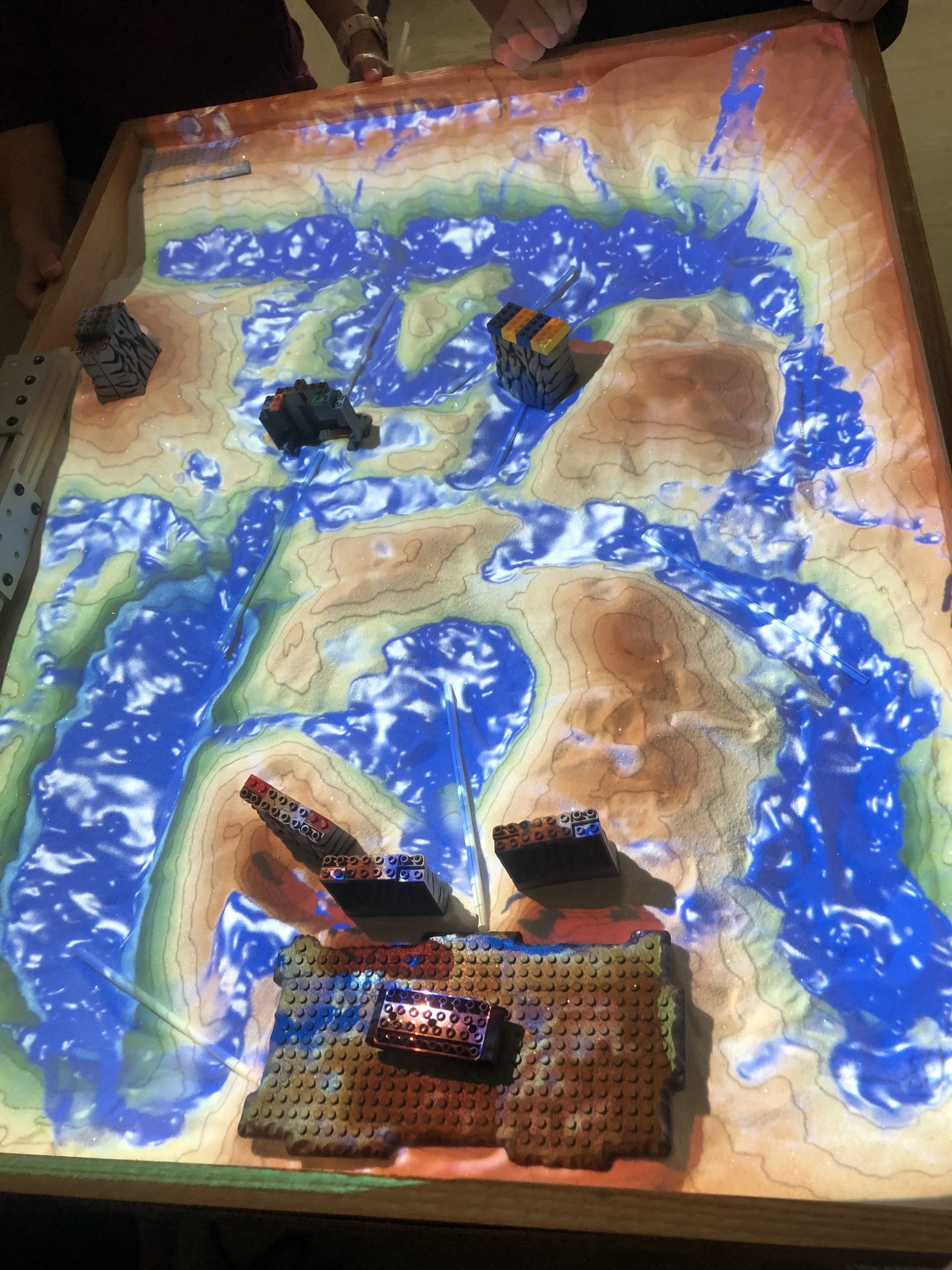
Understanding your local Watershed
This map of the Charlotte area, as well as the questions can help give your group an understanding of their local watershed. Don’t live in Charlotte or Eaton County? No problem, contact us and we can alter this lesson to fit your needs and your area.
Download the ‘Understanding you local watershed’ Lesson plan